Children’s Map of the United States Wall Map
Part Number: RWPDM005
0 in stock
Additional information
| Weight | 1.00 lbs |
|---|---|
| Dimensions | 38.00 × 2.00 × 2.00 in |
| Brand | |
| Color | |
| Material | |
| Assembly Required | |
| Product Size | |
| Age | |
| Grade | |
| Package Contains | 1 Map |
| Package Count | 1 |
| Unit of Measure | EA |
| ISBN | 9781905502073 |
| Barcode | 9781905502073 |
| Country of Origin | |
| Warranty | |
| Warranty Link |
Category: Maps & Map Skills,Social Studies
Item# RWPDM005
MPN: RWPDM005
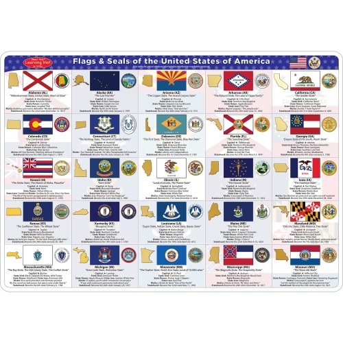
Children’s Map of the United States Wall Map Overview:
This illustrated map of the United States has over 500 illustrations of points of interest across the USA! It has state capitals and other educational information, inluding a “Find then Answer” feature. Measures 38″x54″ and is laminated.
- Laminated
- Map measures 38″x54″
- Hundreds of Illustrations
- It has state capitals and other educational information, inluding a “Find then Answer” feature
- Hours of Fun!


Specifications
| Weight | 1.00 lbs |
|---|---|
| Dimensions | 38.00 × 2.00 × 2.00 in |
| Brand | |
| Color | |
| Material | |
| Assembly Required | |
| Product Size | |
| Age | |
| Grade | |
| Package Contains | 1 Map |
| Package Count | 1 |
| Unit of Measure | EA |
| ISBN | 9781905502073 |
| Barcode | 9781905502073 |
| Country of Origin | |
| Warranty | |
| Warranty Link |